Description
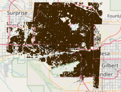
Multiple LiDAR-derived products, including buildings and bare earth DEMs (digital elevation models)
Type: GIS (shapefiles)
Layers:
1) 8395_Phoenix_AZ_2D_Building
2) 8395_Phoenix_AZ_3D_Building
Spatial Extent: Southern two-thirds of City of Phoenix and some of Tempe and other nearby municipalities
Data Source: USGS 3DEP program


