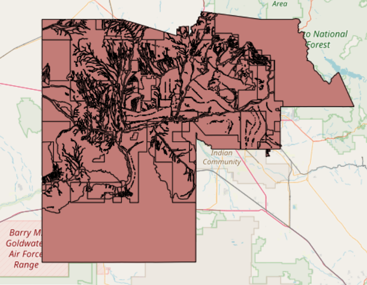
Description
Delineated floodplains for 100 yr storm and other periods, as relevant for national flood insurance program
Type: GIS (shapefiles)
Spatial Extent: Phoenix
Data Source: FEMA https://msc.fema.gov/portal/home
Delineated floodplains for 100 yr storm and other periods, as relevant for national flood insurance program
Type: GIS (shapefiles)
Spatial Extent: Phoenix
Data Source: FEMA https://msc.fema.gov/portal/home