Atlanta

Atlanta UREx Synthesis Atlanta City Team: David Iwaniec, Lelani Mannetti, Robert Hobbins, Robert Lloyd, Charlyn Green, Joy Ward, Stephanie Williams, Zaire Loatman, Claire Smith Existing SETS Conditions With a population of over 472,522, the City of Atlanta encompasses approximately 135mi2 (~350 km2) in a metropolitan area that is home to 5.7 million people, making it…

2006 Fulton County Georgia Lidar

Author Ayres Associates and 3001, Inc.   Citation OCM Partners, 2021: 2006 Fulton County Georgia Lidar, https://www.fisheries.noaa.gov/inport/item/49724.   Year Created 2006   Purpose The Fulton County LiDAR Survey data will support the creation of Federal Emergency Management Agency Flood Insurance Rate Maps (FEMA FIRM) and an integrated ground and surface water model. The Fulton County…

Atlanta LST Data 2013 – 2019

Author Nkosi Muse   Citation Muse, Nkosi Mark MS, “An Analysis of Climate Resilience Planning in Atlanta, Georgia.” Thesis, Georgia State University, 2020. https://scholarworks.gsu.edu/geosciences_theses/141   Year Created 2020   Purpose Data was accessed and aggregated to show peak land surface temperatures in Atlanta for the summers 2013-2019 and used to show what areas of the…

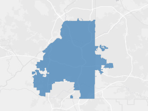
Atlanta City Boundaries

Data Source gis.atlantaga.gov   Year Created 2021   Purpose This shapefile was created to outline the city limits of Atlanta, GA for GIS applications.   Description Municipal boundaries in Atlanta, GA   Attributes Type: GIS (shapefile) Layer: Atlanta city boundary Data Source: City of Atlanta – Planning GIS Open Data