Data Source
gis.atlantaga.gov
Year Created
2021
Purpose
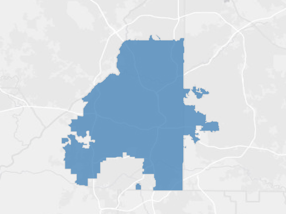
This shapefile was created to outline the city limits of Atlanta, GA for GIS applications.
Description
Municipal boundaries in Atlanta, GA
Attributes
Type: GIS (shapefile)
Layer: Atlanta city boundary
Data Source: City of Atlanta – Planning GIS Open Data


