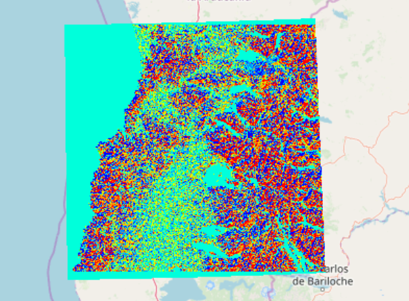
Description Digital elevation model (DEM) data of Valdivia Type: Raster Spatial Extent: Valdivia Download Data Post navigationPreviousPrevious post:Baltimore Land Surface TemperatureNextNext post:Syracuse Flood ZonesRelated PostsFulton County building footprints – Atlanta clipNovember 19, 2021Fulton County Building FootprintsNovember 19, 2021Atlanta Emergency Centers Layer PackageNovember 19, 2021Atlanta School LocationsNovember 19, 2021Atlanta Homeowners and Renters, by Census Block GroupNovember 19, 2021Atlanta Primary Language and Limited English Households, by Census Block GroupNovember 19, 2021