Description
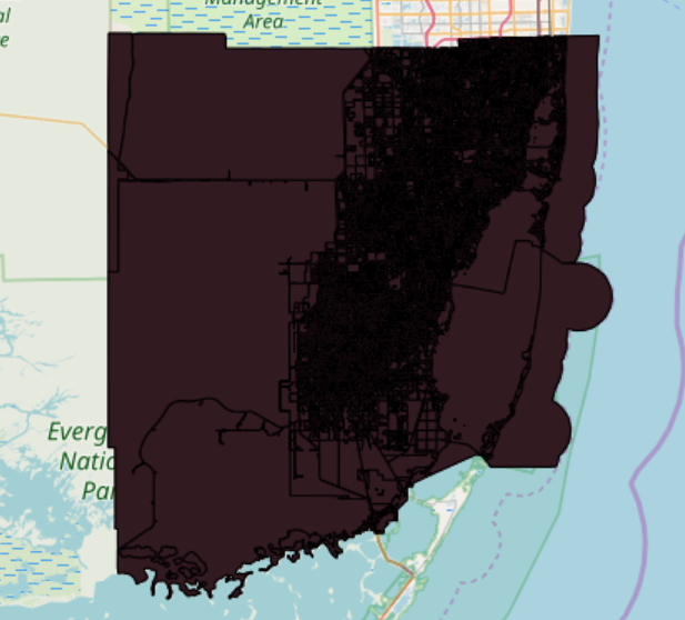
Polygon feature class (Existing Land Use) is produced by the Research Section of Planning Division, Department of Regulatory and Economic Resources Department (RER).The Existing Land Use is the source of all current land use data updates that could be traced years back to 1994, and it is updated weekly based on the most current aerial photography, property appraisal data,
Type: shapefiles
Spatial Extent: Miami-Dade County
Spatial Reference: NAD_83_StatePlane_Florida_East_FIPS_0901_Feet; Transverse_Mercator
Layers:
1) LUMALANDUSE


