Authors
Emma Brenneman
Heejun Chang
Year Created
2020
Purpose
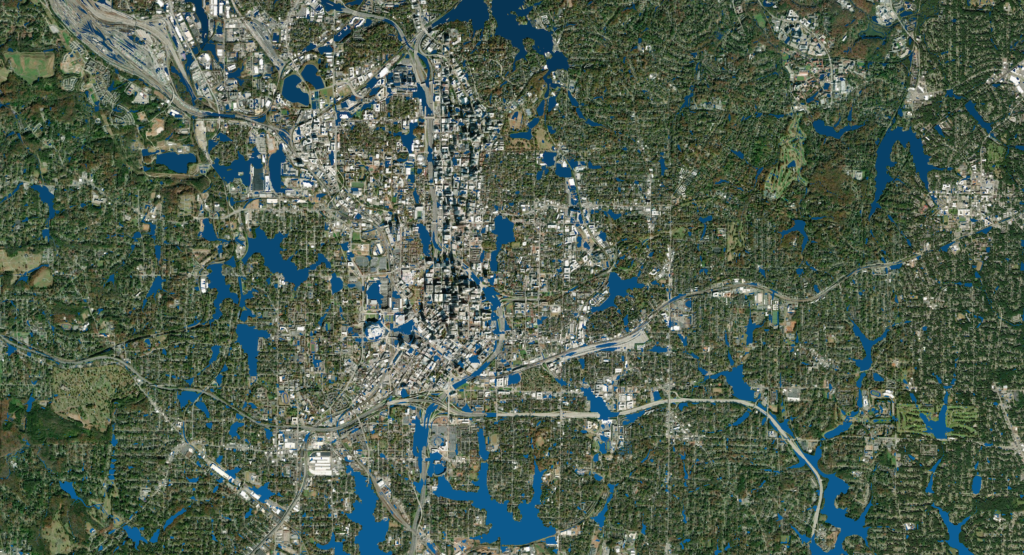
The bluespot analysis identifies low-lying areas around the city of Atlanta that are likely to be prone to flooding. Such data can help practitioners to prioritize areas for flood mitigation projects, like green infrastructure.
Description
This dataset includes bluespot analysis for two precipitation scenarios for Atlanta: A 29mm event and a 84mm event. Documentation for how the models were created and the assumptions used (malstroem) is included in the data download.
Attributes
The dataset includes raster, shape, and vector files to be visualized in a GIS application.


