Author
Ayres Associates and 3001, Inc.
Citation
OCM Partners, 2021: 2006 Fulton County Georgia Lidar, https://www.fisheries.noaa.gov/inport/item/49724.
Year Created
2006
Purpose
The Fulton County LiDAR Survey data will support the creation of Federal Emergency Management Agency Flood Insurance Rate Maps (FEMA FIRM) and an integrated ground and surface water model. The Fulton County LiDAR Survey was collected under the guidance of a Licensed and Professional Surveyor/Mapper.
Description
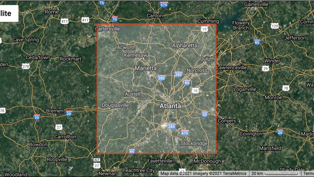
The Light Detection and Ranging (LiDAR) LAS dataset is a survey of Fulton County. The Fulton County LiDAR Survey project area consists of approximately 690.5 square miles. The LiDAR point cloud was flown at a density sufficient to support a maximum final post spacing of 5 meters for unobscured areas. 3001 Inc. acquired 75 flightlines between March 3, 2006 and March 6, 2006 and 120 flightlines were reflown between July 29, 2006 and August 4, 2006. The data was divided into 5000′ by 5000′ foot cells that serve as the tiling scheme. The Fulton County LiDAR Survey was collected under the guidance of a Professional Mapper/Surveyor.
Attributes
ESRI Arc Grid
Metadata
Survey reports
.las files
.xyz files
Reported vertical accuracy is .19 ft RMSE. There is no reason to dispute the claimed accuracy.


